 The Castles of Scotland
Mantle Walls (Malton Walls), Ancrum
Borders: About 3 miles north and west of Jedburgh, to east of Ancrum village, near B6400 west of junction with A68, just west of Ale Water.
Ruin or site NT 632246 OS: 74 TD8 6UJ
The site of Mantle Walls is signposted from the pretty village of Ancrum and there is an information board, though no remains to be seen on the ground.
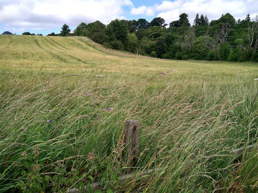 Mantle Walls (Malton Walls), Ancrum (© Martin Coventry)
Site of castle or old building above the Ale Water, a vestige of which still survived at the end of the 19th century. There were the remains of vaults and one gable in the 18th, but all are now gone. The building may have dated from the 13th century and had very thick walls and was famed for the associated gardens. Worked stone has been recovered.
This may be the building shown on Blaeu”s map of Lauderdale (1654) at the north end (on the map) of the village of Nether Ancrum (now Ancrum village), while ‘Nether Ancrum’ is on Gordon (c.1640s). A village is marked on Pont (1596) and on Stobie (1770).
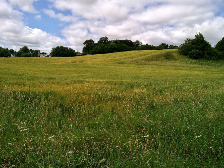 Mantle Walls (Malton Walls), Ancrum (© Martin Coventry)
This has been suggested as a preceptory of the Knights of Malta, hence the name Malton Walls, although the name probably comes from ‘mantle’, meaning an enclosure. The lands were held by the bishops of Glasgow. William de Bondington, Bishop of Glasgow, had a residence here in the 1230s until his death in 1258. Alexander II signed charters from here in 1236. The site was excavated in 2019.
Ancrum was burnt by the English in 1545, went to the Kerrs after the Reformation, then passed to the Scotts around 1670.
Also see Ancrum (Nether Ancrum) and
Ancrum House (Over Ancrum).

 The Castles of Scotland New Sixth Edition by Martin Coventry
New sixth edition.
The book is now available.
 Viridian: a vivid blend of book and website

Check any and all opening and access information with the sites themselves…








Contact Us



Goblinshead
Cockenzie House
22 Edinburgh Road
Cockenzie
EH32 0HY
Email: info@thecastlesofscotland.co.uk
Or use our contact form.



 Print
Print 