 The Castles of Scotland
Ancrum
Borders: About 3 miles north and west of Jedburgh, near B6400, in a bend of Ale Water, at Ancrum village.
Ruin or site NT 628245 [?] OS: 74 TD8 6XH
There were four towers or peels within the village of Ancrum (Nether Ancrum), one of them called Rankin’s Peel, another Parson’s Knowe Peel.
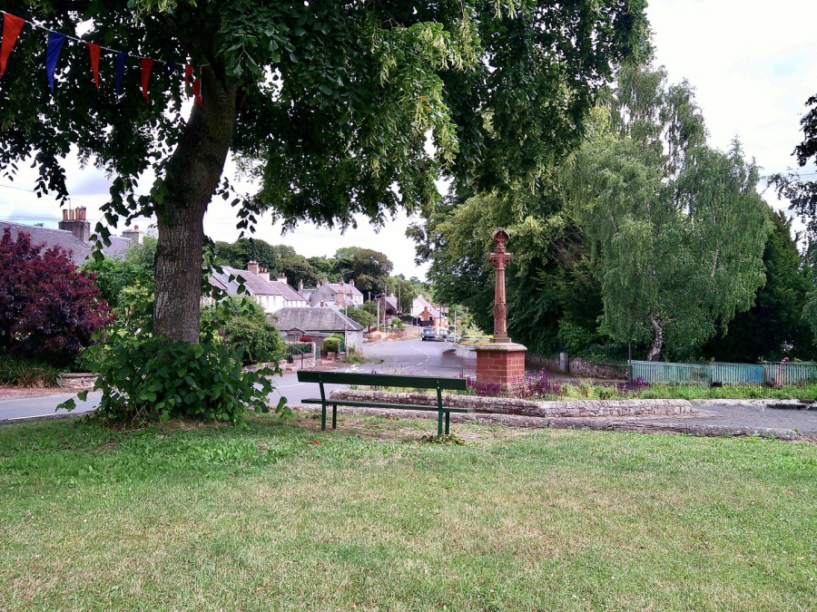 Ancrum: village (© Martin Coventry)
The village is depicted on both Pont (1596) and on Blaeu’s maps (1654), then is marked on Gordon (c.1640s) and on Stobie (1770).
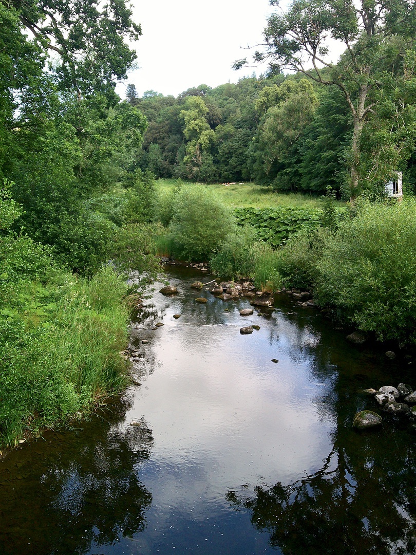 Ancrum: Ale Water (© Martin Coventry)
Nether Ancrum was burnt by the English after Flodden in 1513, again in 1544, and again under the Earl of Hertford in 1545. There was also a castle and village on the other side of the Ale Water, known as Over Ancrum (see Ancrum House).
Ancrum was held by the bishops of Glasgow, and they used the building known as Mantle (or Maltan) Walls as their residence. Ancrum was held by the Kerrs after the Reformation, then from the 1670s or earlier by the Scotts.
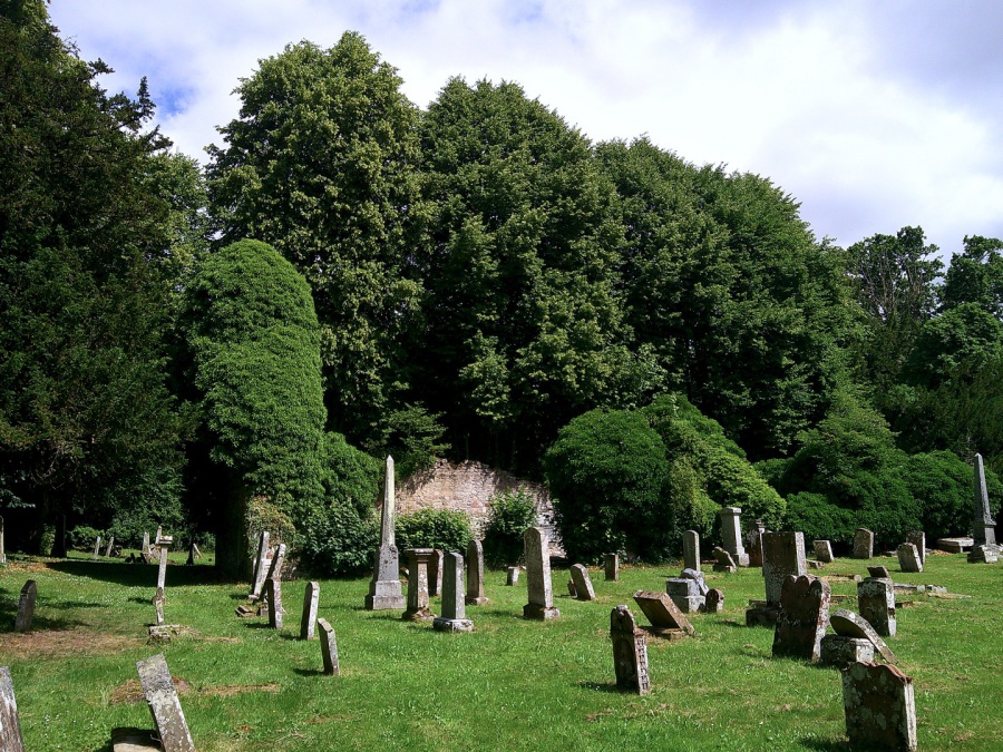 Anncrum: old parish church (© Martin Coventry)
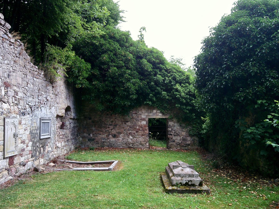 Anncrum: old parish church (© Martin Coventry)
In a pretty wooded spot, the ruinous church [NT 622249], to the west of the present village at Old Ancrum, dates from 1762, though on a much older site. It was replaced by the present church in the village in 1890. There are some old memorials, one dating from 1621, and a hog-backed gravestone
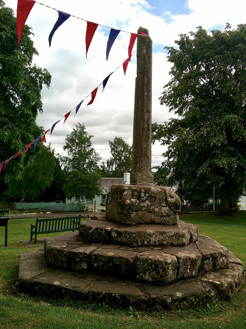 Ancrum: market cross (© Martin Coventry)
The present village is an attractive place around the green. The market cross in the village dates from the late 16th century, having been moved, and stands on a stepped platform, though it has lost the top of the cross.

 The Castles of Scotland New Sixth Edition by Martin Coventry
New sixth edition.
The book is now available.
 Viridian: a vivid blend of book and website

Check any and all opening and access information with the sites themselves…





Contact Us



Goblinshead
Cockenzie House
22 Edinburgh Road
Cockenzie
EH32 0HY
Email: info@thecastlesofscotland.co.uk
Or use our contact form.



 Print
Print 